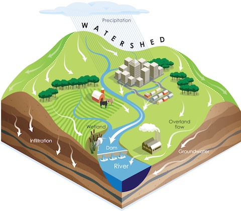
What is Watershed-based Plan?
(All blue highlights are clickable links)
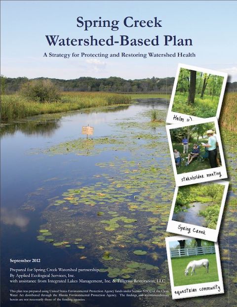
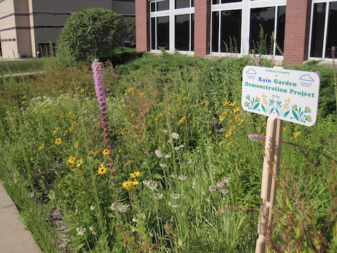
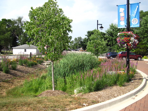
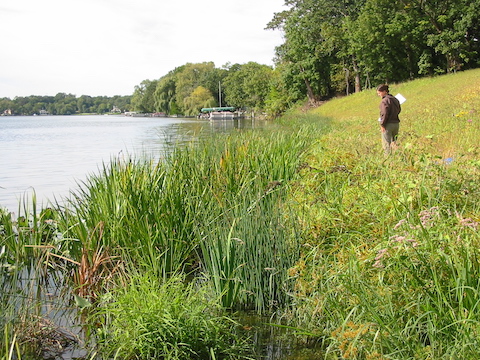
A watershed-based plan is a multi-objective, stakeholder-driven plan for water resources planning and management applied to the land area of the watershed of interest. Watershed-based plans provide both general and specific recommendations and actions that communities, businesses, and residents can take toward the protection, restoration, and future use of the water resources and natural areas within that watershed. Watershed-based plans aim to protect and improve water and habitat quality by identifying projects and programs that will help achieve those goals. These plans follow U.S.EPA and Illinois EPA guidelines, including meeting the “9 minimum elements” of a watershed-based plan, and may address other objectives that are important to the watershed community. Following plan approval by Illinois EPA and U.S.EPA, the projects and programs identified in the plan are eligible for a multitude of funding and technical assistance options. These include federal Clean Water Act “Section 319” Nonpoint Source (NPS) Pollution Control Program grants as well as state and local grants including Illinois’ Green Infrastructure Grant Opportunity (GIGO) program.
Watershed-based Plans in the Fox River Basin
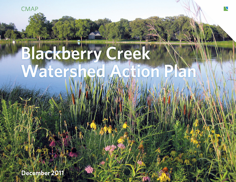
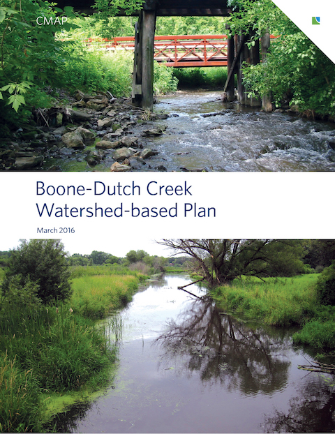
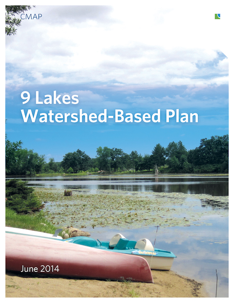
Watershed-based plans have been developed for numerous subwatersheds of the Fox River basin in Illinois. A few plans are awaiting final approvals by Illinois EPA, and a few more are currently being developed or updated. A few places to find completed watershed-based plans include:
Fox River Ecosystem Partnership (FREP) on their Subwatersheds pages (currently in the process of being updated).
Illinois EPA’s watershed-based planning page– plans completed statewide through 2020 have been posted.
Chicago Metropolitan Agency for Planning’s (CMAP) watershed planning page — includes a map of watershed-based planning status in northeastern Illinois as of November 2019, to be updated soon.
Lake County Stormwater Management Commission’s (SMC) watershed management plans page which includes a map of watershed-based planning status in Lake County as of March 2021.
Turning Plans into Actions
As noted above, projects and programs identified in Illinois EPA-approved watershed-based plans are eligible for a variety of funding and technical assistance options. Take a look through some plans that interest you for ideas. Folks at Illinois EPA, CMAP, and Lake County SMC, among others, are happy to talk with you about funding and technical assistance opportunities and other ideas you may have to help make watershed plans come to life.
Contact info:
Illinois EPA Watershed Management Section: 217/782-3362, epa.bowgrants@illinois.gov
CMAP: 312/454-0400, hhudson@cmap.illinois.gov
Lake Co. SMC: 847-377-7700, stormwater@lakecountyil.gov
Help provide input to the Indian Creek Watershed-based Plan!
CMAP is currently developing the Indian Creek Watershed-based Plan. CMAP is working with several organizations and communities in and around the watershed planning area, which straddles southeastern Kane and southwestern DuPage counties. This project looks to improve and protect the water quality and habitats in the watershed, Indian Creek, its tributaries, wetlands, lakes, and ponds, as well as the Fox River. Click here for a map of the watershed planning area.
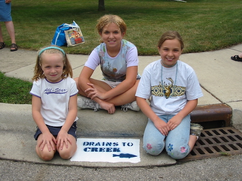
We want to hear from community members and stakeholders like yourself! Please visit the public engagement webpage. Here you can share your insights and ideas for protecting and improving water and habitat quality in the Indian Creek watershed and adjacent Fox River via maps, a quick poll, a short survey, and a comments forum. Through one interactive map, you can point out areas of concern (such as flooding, erosion, water quality concerns), and through a second interactive map, you can add ideas for water quality-related projects, outreach and education activities, monitoring programs, and policy and planning updates.
Input is welcome from anyone with an interest – a stake – in the quality of the Indian Creek watershed and adjacent Fox River. You don’t have to live, work, go to school, or have a business there to be a stakeholder! Perhaps you visit the area to ride your bike on the Fox River Trail or Prairie Path, hike the trails in Fermilab, or paddle on the Fox River. Maybe you’ve shopped at the outlet mall or unique local shops, dined at one of the many restaurants, enjoyed a festival, or went to hear some live music… then you are a stakeholder too!
the Fox River Trail bridge in Aurora.
The input received will help shape water quality-related recommendations that will be incorporated into the Indian Creek Watershed-based Plan. Plan recommendations ultimately will lead to projects, establish monitoring programs, update plans and policies, and create outreach and educational activities aimed at improving and protecting water quality.