By Holly Hudson, Senior Aquatic Biologist, Chicago Metropolitan Agency for Planning
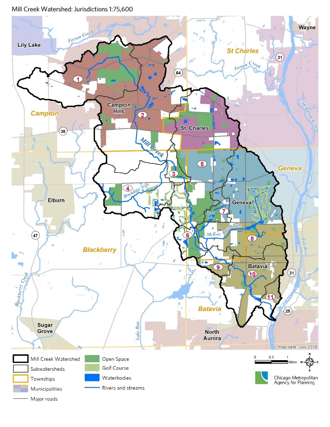
The 31 square mile Mill Creek watershed includes portions of four municipalities (Batavia, Campton Hills, Geneva, and St. Charles) and five townships (Batavia, Blackberry, Campton, Geneva, and St. Charles. The primary land uses in the watershed are agriculture (30%), residential (26%), and open space (19%). Mill Creek itself originates in Campton Hills approximately a half mile west of the Campton Forest Preserve. It meanders in a south-southeast direction for nearly 15 miles and enters the Fox River in an unincorporated area of Batavia.
Mill Creek is currently the focus for watershed-based plan development. Watershed-based planning is a collaborative process involving a variety of stakeholders interested in the well-being of the creek and the area that drains to it. The goal is to create a useful plan identifying problems and outlining solutions that local communities and organizations can utilize to protect and improve surface water quality, groundwater quality and quantity, and aquatic and terrestrial habitats.
A big plus is that projects identified in the plan become eligible for Clean Water Act “Section 319” grant funding, and odds are improved for other grant and technical assistance programs as well.
The Chicago Metropolitan Agency for Planning (CMAP) is leading the process and coordinating with Kane County, the Fox River Ecosystem Partnership, Fox River Study Group, and a project steering committee which includes Friends of the Fox River’s President Gary Swick and Executive Director Gary Mechanic. To date, a draft watershed resource inventory has been written (available on the project website — see link below) and an assessment of physical stream conditions (e.g., streambank erosion, riparian conditions) is underway.
The public will have several opportunities to participate in the watershed plan development process during 2019. Public open house meetings to provide information and gather public input will be scheduled at key points in the planning process at locations throughout the planning area.