watershed planning

Tyler Creek watershed map

Tyler Creek Watershed Coalition

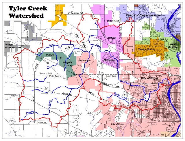
By Carl Missele, Treasurer TCWC The Tyler Creek Watershed Coalition (TCWC) was formed to initiate and manage the green infrastructure recommendations that came from the Tyler Creek Watershed Plan (TCWP). The TCWP was prepared utilizing funding from the U.S. Environmental Protection Agency, Section 319 of the Clean Water Act. The TCWP was completed in 1996 … Read more

Mill Creek watershed map

Mill Creek Watershed

By Holly Hudson, Senior Aquatic Biologist, Chicago Metropolitan Agency for Planning The 31 square mile Mill Creek watershed includes portions of four municipalities (Batavia, Campton Hills, Geneva, and St. Charles) and five townships (Batavia, Blackberry, Campton, Geneva, and St. Charles. The primary land uses in the watershed are agriculture (30%), residential (26%), and open space … Read more